
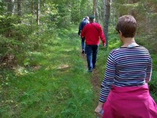
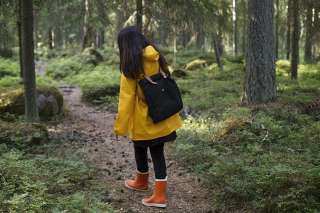
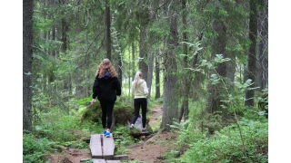
Activities and Nature
Search for interesting activities by type and / or area or with the help of keywords, end by pressing "Show results"
27 Search results, page 2/2
Clear filters-
The nature trail starts fråm Klockarisvägen 14, close to the cross roads with Klockarisgränd.
The nature trail is divided into three parts, and you can walk different distances: 1.8 km, 3.1 km, 3.4 km, and 4.5 km.
-
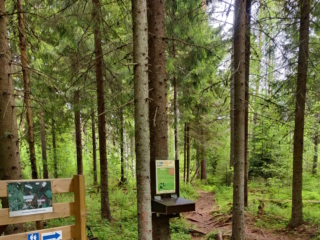
The Sommarö Nature Trails are located in the area of the former Sommarö fort, in Södra Vallgrund. The trail network consists of two circle trails and a back-and-forth trail that branches off, leading to the Södra Vallgrund Beach in Sommarösund past the giant’s kettle and cultural landscapes. In addition to the marine landscapes, you can spot signs of the Finnish Defence Forces’ activities.
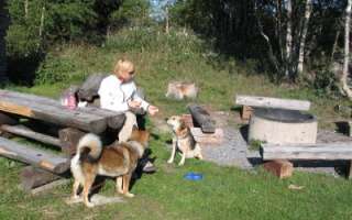
The longer trail leads to the Sommarösund beach in Södra Vallgrund (7 km). The shorter circular trail is 1.5 kilometres long, and the section that goes around the Hålören peninsula is one kilometre long. There are two campfire sites and dry toilets, tables and benches, and an accessible viewpoint along the paths. In the yard of the Sommarö guardhouse there is a lean-to shelter (in public use). An information board (including maps) at each end of the trail and information boards along the trail.
https://www.luontoon.fi/en/trails/sommaro-nature-trail-korsholm-61409-en
-
Hiking Trails 6,6 kilometers (2 km) through the culture surroundings of Solf and Stundars in the municipality of Korsholm.
https://korsholm.fi/valfard/fritidsverksamhet/naturstigar-och-friluftsleder/stundars-vandringsleder
-
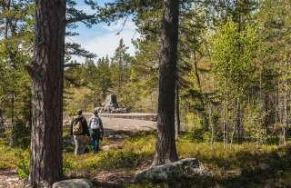
In Vuoressalo, the hiker can ascend from the fields to the top of the majestic white cliffs amidst nature. The cliffs conceal much to see and experience in their shadows. In Vuoressalo, there are many peculiar rock formations, the origins of which have been the subject of speculation over the years. On the current basic map of the area, for example, there is a location called “pakouuni,” a place that, according to legend, is a low, built wall that the farmers participating in the club wars of the 16th century constructed as protection. At the site, there is a natural crack in the rock that forms an approximately 2-meter-high vault. The area is marked by superstition, and these places have not been daringly investigated thoroughly by the locals.
- Starting point: Kuivilantie 174. Parking is available on the opposite side of the road from the starting point. Do not park on the road.
- Length: Two approximately 2 km circular routes
- Difficulty: Easy
- Walking time: 45 minutes to 1 hour
- Map and GPX file are available on the website.
-
The hiking trail starts from Mobergsvägen 520 or Åminnevägen 251. There is no parking available at the start of Mobergsvägen, so it is recommended to park at the Kvarken Boat Museum, where there is also a bird observation tower and a barbecue area. From there, you can access the Åminne hiking trail along Åminnevägen and Mobergsvägen. Alternatively, you can park at Åminnevägen 251 (“Dimmornas bro”), where there is also a barbecue area.
The various stretches of the hiking trail are 2 km, 4.1 km, and 5.1 km, and the terrain is easy, suitable for all. Map indicating the hiking trail is marked (pdf).
-
Vaasa’s Outdoor Recreation Trails on the Map
The nature trails in Vaasa have been combined into a cohesive network of about 70 kilometers, which was inaugurated in September 2025.
The work to unify the nature trails in Vaasa began in 2022, and over the course of three years the trails have been improved, standardized signs have been installed in the terrain, and a modern digital map of the network has been created.
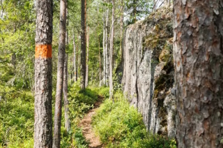
The network’s trails run across land owned by the city in various districts. Along the trails there are campfire sites, beaches, playgrounds, outdoor exercise areas, and other places to experience. The trails are marked with signposts and information boards as well as on a digital map.
-
Desitnations and trails in the service Luontoon
You can find information on all outdoor recreation destinations, trails and services throughout Finland on the Luontoon service.