



Article categories: Archive News
The City of Vaasa captures aerial imagery using drones
Published: 27.5.2026
Updated: 6.8.2026
The City of Vaasa operates drone flights across different parts of Vaasa throughout the spring, summer, and autumn. The data collected from the air is used for mapping and for identifying heat loss in buildings.
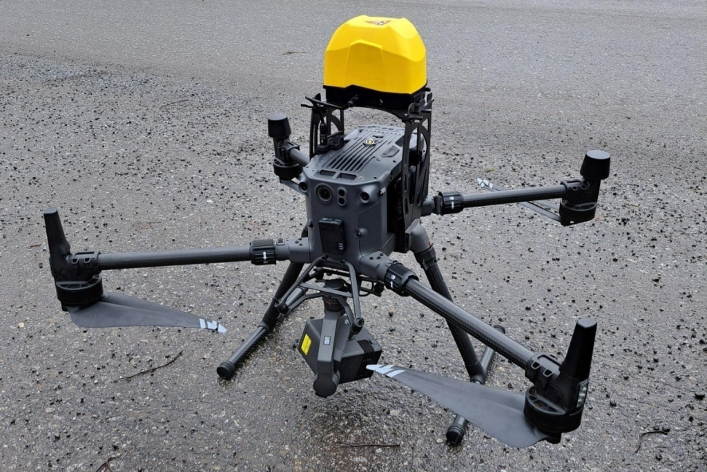
The City of Vaasa has two drones: the larger one is used for mapping surveys, while the smaller one is used for thermal imaging of buildings. The images provide highly accurate and up-to-date information that supports the city’s planning work.
– The flights and data gathering mainly focus on built-up areas. The images may also capture people and private gardens, but it will not be possible to identify individual people. The data will not be shared with parties outside the projects, says Jakob Wallin, Geographic Information System Specialist for the City of Vaasa.
The City of Vaasa has carried out aerial surveys for a long time, but their number has multiplied in recent years. The drones are operated by city staff who have the required permits and training, Moreover, they comply with the latest regulations, ensuring that flights are conducted safely.
The drones can be spotted on weekdays
Mapping surveys are usually carried out on weekdays from 8 to 16, and a single flight lasts about 1.5 hours. Thermal imaging will not begin until autumn and will take place mainly in the evenings, as cooler air is needed for heat loss to be visible in the images.
Mapping surveys are carried out mainly in Sundom and Vähäkyrö, while thermal imaging focuses on the city centre.
– The drone may also be seen and heard over people’s yards and gardens. The sound is clearly audible, but usually only for a short time. The drone moves quickly and does not hover over any single garden or area for long, says Wallin.
The city’s drone is easy to recognise
The city announces all flights in advance on the Flyk service, which states who is operating the flight and for what purpose. In addition, the drones are equipped with an identification feature that allows them to be identified using a mobile app, such as OpenDroneID.
The drone was acquired in an European Urban Initiative-funded project Nordic Energy Capital. Nordic Energy Capital (NEC) is an international development project led by the City of Vaasa. Its aim is to build the energy city of the future together with residents, businesses, and experts.