

Traces of the Ice Age
The World Heritage High Coast/Kvarken Archipelago is the best place in the world to see and experience the land uplift after the latest Ice Age. Together, the two areas tell about Earth’s history and how the massive inland ice sheet shaped the landscape. Nowadays the land still rises from the sea, and the sea further shapes the risen shores.
The Kvarken Archipelago is like an outdoor museum of the Ice Age. Here you can see with your own eyes the traces of the Ice Age on the terrain and how the old harbours are nowadays far from the shoreline. Read more below with stunning pictures!
Weichselian - the latest Ice Age
Finland and Sweden have been reshaped and worn down many times in the history of the Earth and during the previous Ice Ages. About 120 000 years ago, the climate slowly became 5-10 degrees colder than it is today. Snow and ice did not then melt during the short, chilly summers. Glaciers in highland areas grew and grew until they created a continental ice sheet that covered most of the northern hemisphere.
When the inland ice was at its greatest 20,000 years ago, the Kvarken Archipelago was covered by a three kilometre thick ice sheet. The ice was thickest here because it grew up in the fjelds of Norway and Sweden and was pushed down by its own weight towards the valley formed by the Bothnian Bay and the Bothnian Sea. The massive ice sheet pushed down the Earth’s crust here close to a kilometre.
As the ice began to melt, the Earth’s crust started its journey towards its original position – and the land started to rise. The low-lying Kvarken Archipelago was still 250 meters below sea level when the ice had completely melted 10 000 years ago. At that time, the Finnish coastline was located 130-150 kilometres towards inland. The first islets appeared in the archipelago in the beginning of our time reckoning. Nowadays the first islands are the highest hills in Södra Vallgrund and in Replot – with modest 20 meters above sea level.
Land uplift - one meter in a hundred years
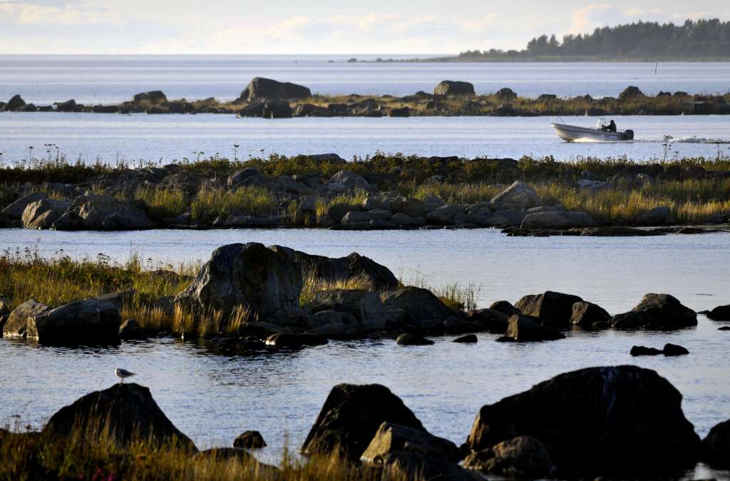
Before all the inland ice had even melted, the land had risen 500 meters. According to recent calculations, the land rises here 10 millimetres a year. This means that the amount of new land on Kvarken’s shorelines is about 150 football fields every year! During just one lifetime one can see how the shorelines shift by metres and how new islets rise from the sea.
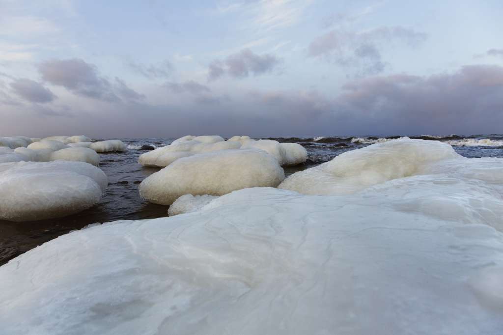
Plants and animals here must adapt to the constantly changing living environment as the islets become beaches and beaches become forest. Similarly, people have had to move their harbours towards deeper waters and mark their boat passages carefully to locate new shallows and rocks.
Kvarken Archipelago - like visiting another planet
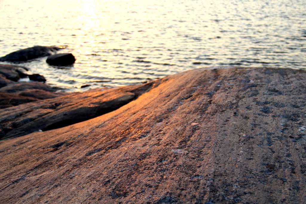
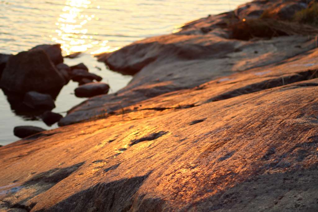
The large inland ice shaped, teared and wore down the landscape for millennia. In the Kvarken Archipelago you can find rocks smoothed by the inland ice like rough polishing paper. The striations and grooves on the rock surfaces tell the direction of ice flow.
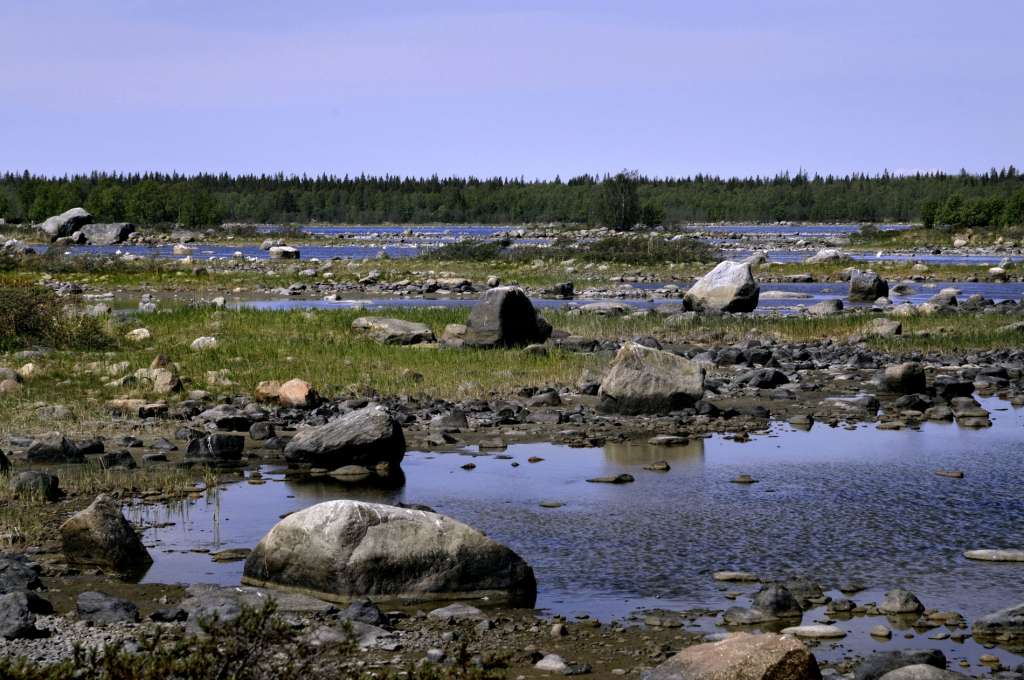
As the ice grew, it carried with it unsorted sediment called till. When the ice melted, it left behind gigantic boulders, gravel and pebbles in various formations. This makes the Kvarken Archipelago one of the rockiest archipelagos in the world. It is estimated that the archipelago has over 5600 islands and more islets are rising over sea level every year.
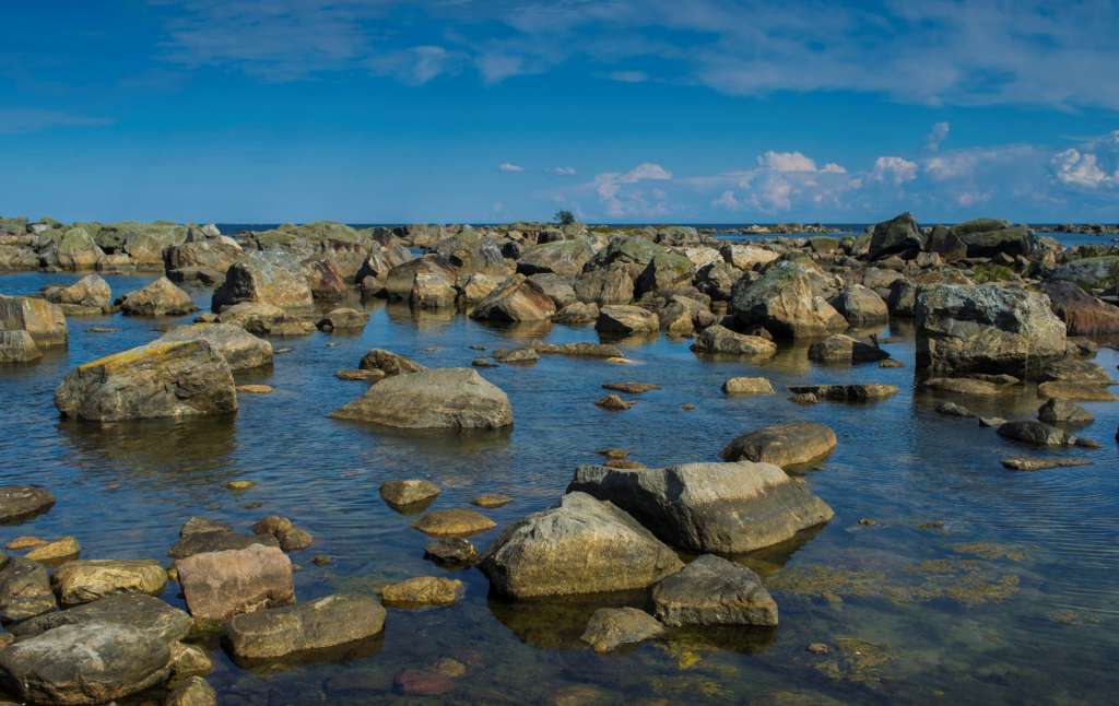
To the islanders, rock-strewn areas are a familiar part of the scenery, but other may have never seen anything like it and the sight is breath-taking. Especially the stony grounds at the southern part of the World Heritage area can remind you of science fiction films. At least the scenery gave this feeling to a representative of the International Union for Conservation of Nature (IUCN), and he had sighed: “It’s like another planet”.
Landscape is lined with moraine formations
Another trace of the Ice Age is the various moraine formations made of till, which is unsorted gravel and stones. There are about 19,000 moraine formations in the Kvarken. The most typical moraine formations here are De Geer moraines, transversal ribbed moraines and tear-shaped drumlins.
Although moraine formations are everywhere on the terrain and sea floor, especially the De Geer moraines are best viewed from Saltkaret observation tower in Svedjehamn, where the moraines are surrounded by water. De Geer moraines are long stripes in the landscape, and they are a few metres high and up to a kilometre long.
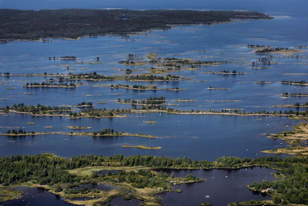
Geologists today believe that the De Geer moraines were created at least 200 meters deep in the sea along the edge of the inland ice as it melted. Melting water under the ice arranged the till into long ridges. Large pieces of ice broke away from the ice sheet creating a new edge to the ice. A new moraine ridge formed along the edge of the ice. During annual melting phase, 3 to 6 moraine ridges would be formed. When the land uplift lifts the moraines up to the sea surface, the sea flushes away gravel and sand, leaving only the larger stones to the moraine ridges.