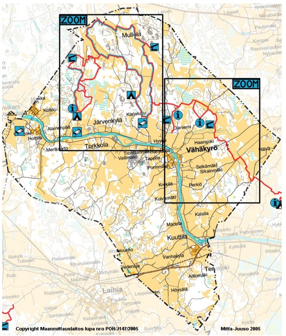
Vähäkyrö
On the northern shores of the Kyrönjoki river lies Vähäkyrö’s largest recreational area
The trails can be reached from many various locations and there are several shelters and campfire sites. The trails are marked and in varying condition, in places running through old forest and in others almost completely overgrown. The longest trail runs all the way to Isokyrö and Laihia. Some are circular trails of various length. There is also a trail for mountain biking in the area.
From the address Mullolantie 169 you gain access to 1-4km long running trails and wintertime illuminated cross country skiing trails. During periods with an abundance of snow it is possible go all the way to the Kaitaja-shelter (roughly 12 round trip) and the Ainmaa-trail (about 6 km). When the snow has melted, longer, continuous hiking trails are revealed.
The nature of Vähäkyrö is diverse and trails run through farmlands, forests, swamplands and boulder fields.
The Vähäkyrö-Laihia trail comprises roughly 130km marked trails. In addition, there are maps of the trails at the information points and shelters. Along the trail is a total of 18 wind shelters/huts, some equipped with a dry toilet.